Thursday, 16 June 2016

Day 14 Burnstones to Burnhead (Hadrian's Wall)

Day 14 15 miles

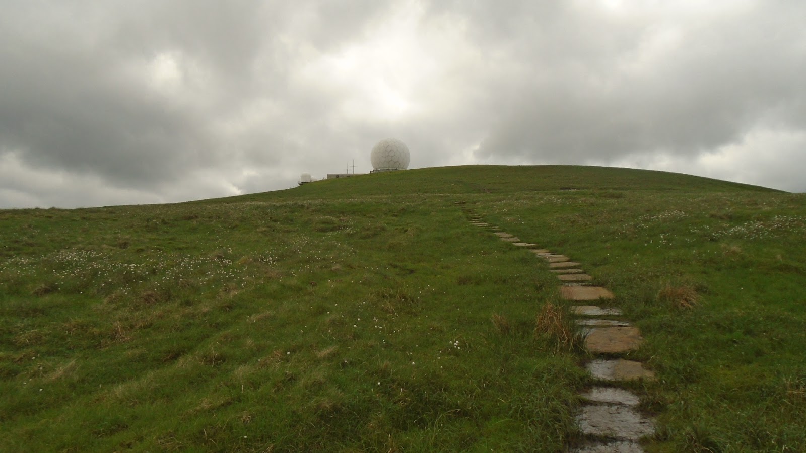
Not a spectacular sightseeing day, mainly fields and moorland, but eventually you get the historic Hadrian's Wall to see. I had Liz drop me off at Burnstones, the place I done a short walk to, from Alston yesterday. It was straightaway into fields with long wet grass, a bit boggy underfoot in places, helping to get my boots wet. Crossing a road near to Lambley, it was then onto Hartleyburn Common, then Blenkinsopp Common which as a reputation as being the worst area for bogs on the Pennine Way. Must have been my lucky day, there was less bog and wetness than a few miles earlier that I'd walked through. Coming off the common by Black Hill I did find navigation a bit of a problem, the track just disappears, use of a gps signal on my phone then gave me coordinates to check on my OS map, problem solved.
I then had the job of crossing the busy A69, when your feet and legs are tiring you need to wait for a pretty long gap in the traffic. After I had got across, the next thing was to navigate around Haltwhistle golf club, no problem, but if you somehow don't go over the stiles you have to, you can spend a bit of time getting back to the correct place. What a bloody idiot, for the life of me I just don't know what I was doing. I lost a good half an hour back and forward, going in a circle before I realised what a bloody silly thing I'd done. In fact when I caught up with Liz later in the afternoon, who keeps an eye on my progress and whereabouts using something called "Buddy Beacon" on the View Ranger app, she happened to mention to me, "Who went backwards and forwards and got lost about 1-00PM". Sod off Liz, can't hide anything, besides I never get lost, I don't always know where I am.
Things then got alright, easily picking up the PW trail alongside Hadrian's Wall track, soon came across a picnic area where I stopped for my lunch. Then it was roughly 3 to 4 miles along the wall path, up then down, up then down, like a roller coaster until I reached a lane to take me to our b&b for the night,
Bridgehouse B&B, within spitting distance of the Milecastle Inn. Easily the best place we have stopped in so far.
A few random photos of todays walk


Stiles that walkers love
 A few photos on and around Hadrians Wall
Thirlwell Castle

Wednesday, 15 June 2016

Day 13 Alston to Burnstones

Day 13
Today was pencilled in as a probable rest day, but after seeing the distance to my next destination near to Cawfield Crags on Hadrian's Wall would be over 20 miles, I took the opportunity to eat some of the mileage away. I set out around 8-30 using the South Tynedale railway track and Pennine Way as far as Burnstones. This took off 7 miles, thus making a more comfortable walk tomorrow. This also gives me (maybe) the chance to catch the 2-00pm kick off, England v Wales at the Milecastle Inn, within spitting distance of our nights b&b.
Liz picked me up at Burnstones around 11-00, and then we shared an intimate moment a few hours later. As we were this far north, I had it planned to take us up to Gretna Green, not exactly a place you pass often. We got there, we then went to the Old Smithy, the place where the wedding ceremonies used to take place over the last couple of centuries. They still do ceremonies today, they also do vow renewals....... so me and my dear wife Liz, paid the price to have our vows renewed. I must say it was delightful, we both got very emotional, a memory that we will cherish as much as our wedding day 8 years ago.
Back to the days walk, nothing of note to say, just a matter of getting mileage out the way, only took 1 photo, a village sign I saw, the strange and querky named Slaggyford.

Tuesday, 14 June 2016

Day 12 Dufton to Alston

Day 12 19 miles

Ever since I started this Pennine Way walk I have tried to think of the days walk in front of you, nothing else, one day at a time, thats all. But, all along there was one thing I could not block from my mind, the climb of nearly 900 metres over Cross Fell. Not so much of the height gain, not so much the distance, the biggest fear was what the weather could be like. Thick mist, extra strong winds are notorious on this fell, it was always my biggest worry.
I woke around 6-00, looked outside the b&b window, yes yes yes, clear and dry, high clouds, no hot sun, thankyou oh thankyou. Daan and Inge were in the same b&b as myself so we arranged to walk together again. We set off at 7-45 walking down to pick up the PW trail, perfect ideal weather conditions, we could see straight away onto the top of Great Dun Fell, the large "golf ball" or the Civil Aviation Authority's air traffic control radar, take your pick. Passing by the impressive looking Dufton Pike, we made good progress along gradual ascending tracks up to the fells. There was only two short steep ascents, onto Green Fell then Knock Fell.
Dufton Pike
"Golf ball" on top of Great Dun Fell
It was then a easier walk than I was expecting, onto Great Dun Fell, Little Dun Fell then the huge expanse of Cross Fell. We sat and had a quick break on Cross Fell, taking in wonderful views of the Lake District peaks in the distance.
Down between the Dun Fells, Cross Fell behind
Looking back to Great Dun Fell
Cross Fell summit shelter

I take in views of Lake District skyline
After we had came off Cross Fell we took our lunch break at Greggs Hut, an old cottage converted into a mountain rescue bothy named after mountaineer John Gregory, killed in the Alps 1968.
Greg's Hut
Hard work all this walking
Once we had left here it was a long, very long walk to the village of Garrigill, a nice sleepy little place. This was followed by a riverside walk to the evenings accommodation in the small town of Alston.
Fantastic clouds, walking into Alston. (photo taken by Daan)

Day 11 Forest in Teesdale to Dufton

Day 11 13 miles

Because I walked a short distance yesterday, it meant todays walk was only about 13 miles. I'm glad I did because it would have been a long day. Liz dropped me off at the roadside then I had a short walk to pick up the PW trail, as soon as I reached it there was Dan and Inge just starting also. We'd only walked for about 5 minutes and waterproofs came out, light rain but it carried on for a large part of the day. The PW here follows the River Tees, a pleasant walk until you reach an area called Falcon Clints.
Daan and Inge safely through Falcon Clints

This is where the path is cluttered with rocks and boulders of all shapes and sizes, caution is a priority, ankles can easily be damaged . Being wet with the rain didn't help, being extra careful it ended up being scrambled in some places. Once we had cleared two sections like this, around the next corner came the days first sight, Cauldron Snout, a waterfall thats just below Cow Green reservoir. Not as large as High Force further down stream, but very powerful.
Cauldron Snout
Quick breather before a scramble to top
The only way round this is to scramble up the rocks to reach a footbridge that takes you across. Again with the rocks being wet, extra care was needed, great fun, I really enjoyed it.
After this it was just a matter of walking off the mileage across the moorland to reach, what I think, is the best view so far on the Pennine Way. No I will change that, probably one of the greatest spectacles in the whole country, High Cup, an old glacier formed valley. I have seen photos and TV programmes of this, they do not do it justice, its impossible to put it across, to describe it you are stuck for words. Also at this time the rain had stopped a short while earlier giving us unbelievable views.
High Cup

I could have sat there for ages
All that was left was to make our way down the inevitable long track down to the evenings destination, this time the small Cumbrian village of Dufton

Sunday, 12 June 2016

Day 10

Day 10 Middleton in Teesdale to Forest in Teesdale

Today (sunday) was going to be a rest day, but seeing as the next 2 stages are 21miles and a very hard 19 miles I decided to have a short stroll on the PW upto Forest in Teesdale, a nice relaxing 6/7 miles. This would then shorten the next stage to Dufton. This must be one of the best stretches on the Pennine Way, as in such a short mileage you pass two fantastic waterfalls, Low Force then further upstream you reach High Force. At Low Force I spent a short time watching a group of supervised kids taking turns to jump in from various heights. They were as happy as pigs in ..it, they were loving it. I then proceeded to High Force which is much larger in size, there certainly wasn't any kids jumping in here. Only a short walk granted, but I had shed all the gloom and despondency that had got me down yesterday. Ready to tackle the relatively easy walk tomorrow to Dufton, now I've shortened it by doing todays bit with another, some say the best sight in England, never mind the Pennine Way, High Cup.
View of R. Tees from bridge in Middleton

Low Force


Great way to spend sunday mornings

High Force
Happy today, you can't fail to be
If you read the inscription, never a truer word

Saturday, 11 June 2016

Day 9

Day 9 Tan Hill Inn to Middleton in Teesdale 17 miles

Today was probably the most uneventful, and to be honest, most boring for me so far. When I woke this morning the moors surrounding Tan Hill Inn were covered in mist. Visibility was down to 100 to 200 metres, not enough to make navigating hard, just enough to block any views there may be.It was like this also when I set off, making my way across Sleightholme Moor for about 3 miles. This is described in the guide books as being very boggy, they describe it incorrectly. It should say, this is a bog that masquerades as a moor, once and only once though did I go in ankle deep. I consider myself very lucky indeed, although my boots and socks were soaked, I had to change my socks shortly afterwards to try and prevent any chaffing causing blisters. I left the bog across a footbridge then took a farm track for a few miles.
Leaving the Bog behind clouded in mist
It was then fields and rough grassland down to cross underneath the A66 road, just before the A66 there is a nice little spot known as Gods Bridge, its a natural layering of rock across a stream acting as a bridge.
Gods Bridge

Gods Bridge
There was then a boring uphill stretch of moorland, made worse because it was still misty you couldn't get any views, saying that I don't think there was much to see anyway. It got so bad for me that when I reached three "reservoirs" I was rather pleased, it was that bad. To be fair the reservoirs did show more appeal than many I have passed this last week.
Grassholme res.
At this stage I knew it wasn't going to get any better, and I was right, the mist never cleared entirely for the rest of the day. I was getting mentally tired by the minute, my brain then decided to make my legs take a bit of the stress also, they started tiring also. Eventually you drop down from the hillside into Middleton, another monotonous descent that then got my feet aching as well. Its late in the evening now writing this, me and Liz went into the pub bar in our accommodation, Forresters Hotel, had dinner a few drinks and I watched the England v Russia match on the TV, still feeling a bit down but, as in "Gone with the Wind" you know what is said "Tomorrow is another day".

Friday, 10 June 2016

Day 8

Day 8 Hawes to Tan Hill Inn 16 miles

After the last few days of hot, humid weather I wasn't really looking forward to todays walk, a 16 mile trek with ascent of  just over 1,000 metres (3,300ft), and to top it off I found out that breakfast wouldn't be served until 8-30. If it was going to be hot and sunny again I wanted an early start, so last night I shopped for a couple of muffins, I was prepared to have these as soon as I woke and get off early. It worked out fine, I was on the road at 7-00, cool temperature and cloudy, ideal conditions for me.
Sound of water as I leave Hawes
I soon reached the village of Hardraw where quite a few of the folk I've met were staying, one guy was taking an early stroll before their breakfast at 8-00, bit surprised to see me, but he understood my reasons.
It was then the usual uphill slog, this time to eventualy reach the heights of Great Shunner Fell, I was actually  feeling good, there was a bit of rain but it didn't bother me at all. It was reminding me a lot like the Peak District, I felt at home, and before reaching the summit there was a scattering of peat hags and groughs, then I noticed there was a fair bit of cotton grass growing, I really felt at home.
Feeling at home
Well built cairn on Great Shunner Fell
I stopped on top and had my second muffin, couldn't wait to set off.
Great Shunner Fell summit
I started eating the miles away, and as there was a fair bit of mist around in the dales there was no need to stop and admire the views.
I arrived in a quiet little village called Thwaite where I caught sight of Kearton tea rooms, ideal time for a short break, so I popped in for a pot of tea and spent about 20 minutes relaxing. When I left it was a short climb onto Kisdon Hill, not to the top but a great walk around halfway up. This went for about 3 miles and was the highlight of my day, again I felt at home, I was feeling great. The views although a bit too misty to take good clear photos were excellant, along the beautiful Swalesdale, very pretty indeed.

As you finally drop down the hillside you cross the River Swale, and by the river side is a fine waterfall, I stopped here to take photos and have my lunch.


After this, all that was left was go to the pub, and thats what I did but it was a 3 to 4 mile walk to it, Tan Hill Inn, the highest pub in the country. A short steep climb to get on the moors and then it was a matter of getting to Tan Hill, and that I did, getting there at 3-10, just over 8 hours including stops.
Yes, today I found a lot, lot easier than I expected, I'm ready for the off in the morning, a 17 mile walk to Middleton in Teesdale, only half the height gain of today. A pint or two of Black Sheep down in the bar tonight and a good hearty meal, what more could a guy ask for after a good days walk.