Sunday, 12 June 2016

Day 10

Day 10 Middleton in Teesdale to Forest in Teesdale

Today (sunday) was going to be a rest day, but seeing as the next 2 stages are 21miles and a very hard 19 miles I decided to have a short stroll on the PW upto Forest in Teesdale, a nice relaxing 6/7 miles. This would then shorten the next stage to Dufton. This must be one of the best stretches on the Pennine Way, as in such a short mileage you pass two fantastic waterfalls, Low Force then further upstream you reach High Force. At Low Force I spent a short time watching a group of supervised kids taking turns to jump in from various heights. They were as happy as pigs in ..it, they were loving it. I then proceeded to High Force which is much larger in size, there certainly wasn't any kids jumping in here. Only a short walk granted, but I had shed all the gloom and despondency that had got me down yesterday. Ready to tackle the relatively easy walk tomorrow to Dufton, now I've shortened it by doing todays bit with another, some say the best sight in England, never mind the Pennine Way, High Cup.
View of R. Tees from bridge in Middleton

Low Force


Great way to spend sunday mornings

High Force
Happy today, you can't fail to be
If you read the inscription, never a truer word

Saturday, 11 June 2016

Day 9

Day 9 Tan Hill Inn to Middleton in Teesdale 17 miles

Today was probably the most uneventful, and to be honest, most boring for me so far. When I woke this morning the moors surrounding Tan Hill Inn were covered in mist. Visibility was down to 100 to 200 metres, not enough to make navigating hard, just enough to block any views there may be.It was like this also when I set off, making my way across Sleightholme Moor for about 3 miles. This is described in the guide books as being very boggy, they describe it incorrectly. It should say, this is a bog that masquerades as a moor, once and only once though did I go in ankle deep. I consider myself very lucky indeed, although my boots and socks were soaked, I had to change my socks shortly afterwards to try and prevent any chaffing causing blisters. I left the bog across a footbridge then took a farm track for a few miles.
Leaving the Bog behind clouded in mist
It was then fields and rough grassland down to cross underneath the A66 road, just before the A66 there is a nice little spot known as Gods Bridge, its a natural layering of rock across a stream acting as a bridge.
Gods Bridge

Gods Bridge
There was then a boring uphill stretch of moorland, made worse because it was still misty you couldn't get any views, saying that I don't think there was much to see anyway. It got so bad for me that when I reached three "reservoirs" I was rather pleased, it was that bad. To be fair the reservoirs did show more appeal than many I have passed this last week.
Grassholme res.
At this stage I knew it wasn't going to get any better, and I was right, the mist never cleared entirely for the rest of the day. I was getting mentally tired by the minute, my brain then decided to make my legs take a bit of the stress also, they started tiring also. Eventually you drop down from the hillside into Middleton, another monotonous descent that then got my feet aching as well. Its late in the evening now writing this, me and Liz went into the pub bar in our accommodation, Forresters Hotel, had dinner a few drinks and I watched the England v Russia match on the TV, still feeling a bit down but, as in "Gone with the Wind" you know what is said "Tomorrow is another day".

Friday, 10 June 2016

Day 8

Day 8 Hawes to Tan Hill Inn 16 miles

After the last few days of hot, humid weather I wasn't really looking forward to todays walk, a 16 mile trek with ascent of  just over 1,000 metres (3,300ft), and to top it off I found out that breakfast wouldn't be served until 8-30. If it was going to be hot and sunny again I wanted an early start, so last night I shopped for a couple of muffins, I was prepared to have these as soon as I woke and get off early. It worked out fine, I was on the road at 7-00, cool temperature and cloudy, ideal conditions for me.
Sound of water as I leave Hawes
I soon reached the village of Hardraw where quite a few of the folk I've met were staying, one guy was taking an early stroll before their breakfast at 8-00, bit surprised to see me, but he understood my reasons.
It was then the usual uphill slog, this time to eventualy reach the heights of Great Shunner Fell, I was actually  feeling good, there was a bit of rain but it didn't bother me at all. It was reminding me a lot like the Peak District, I felt at home, and before reaching the summit there was a scattering of peat hags and groughs, then I noticed there was a fair bit of cotton grass growing, I really felt at home.
Feeling at home
Well built cairn on Great Shunner Fell
I stopped on top and had my second muffin, couldn't wait to set off.
Great Shunner Fell summit
I started eating the miles away, and as there was a fair bit of mist around in the dales there was no need to stop and admire the views.
I arrived in a quiet little village called Thwaite where I caught sight of Kearton tea rooms, ideal time for a short break, so I popped in for a pot of tea and spent about 20 minutes relaxing. When I left it was a short climb onto Kisdon Hill, not to the top but a great walk around halfway up. This went for about 3 miles and was the highlight of my day, again I felt at home, I was feeling great. The views although a bit too misty to take good clear photos were excellant, along the beautiful Swalesdale, very pretty indeed.

As you finally drop down the hillside you cross the River Swale, and by the river side is a fine waterfall, I stopped here to take photos and have my lunch.


After this, all that was left was go to the pub, and thats what I did but it was a 3 to 4 mile walk to it, Tan Hill Inn, the highest pub in the country. A short steep climb to get on the moors and then it was a matter of getting to Tan Hill, and that I did, getting there at 3-10, just over 8 hours including stops.
Yes, today I found a lot, lot easier than I expected, I'm ready for the off in the morning, a 17 mile walk to Middleton in Teesdale, only half the height gain of today. A pint or two of Black Sheep down in the bar tonight and a good hearty meal, what more could a guy ask for after a good days walk.

Thursday, 9 June 2016

Day 7 Horton to Hawes

Day 7 Horton to Hawes 14 miles

After the day I had yesterday I am to worn out to write much today. Although the views from the fells were excellant there is not a lot to describe in detail, I will let a few photos do the talking.


Ling Gill

Ribblehead viaduct


Tomorrow I'm looking at an early start, destination is to the highest pub in the country
Tan Hill Inn

Day 6 Malham to Horton in Ribblesdale (wednesday)

Day 6 Malham to Horton 15 miles

A day I will never forget, I will get to that later, but the day started by leaving a very nice Beck Hall, our previous nights accommodation. Being accompanied by my wife Liz doing a short stroll to see Malham Cove a huge wall of limestone that many, many years ago used to be a waterfall, a waterfall to rival Niagara in size. Its less than a mile from the village so it was soon for us to say goodbye for the day.
A misty Malham Cove

Liz waited while I climbed the stone path up to the top, hoping to see me and maybe take a photo, it wasn't to be. Mist was enough to obscure any sight of each other, I did wave my arms about like a loony in the hope she might have seen me, she didn't. I walked along the top over a path of limestone blocks, created by water erosion over the years, then alongside Ing Scar
Limestone pavement

Ing Scar in mist
to reach Malham Tarn.
Malham Tarn

Once you leave the tarn you then have a long gradual uphill climb to get onto Fountains Fell, and its on top of here I saw my first glimpse of something I was really waiting to see, across the dale stands Pen y Ghent, the first real mountain on the PW. It looked stunning, absolutely amazing, looking at the side you have to climb from must get everybodies adrenaline flowing, mine certainly was.
First view of Pen y Ghent
It actualy took me much longer to reach than it should have though.........................
Descending Fountains Fell I felt rain starting, there was dark clouds forming, waterproofs was put on pronto, it got heavier as I reached the roadway you take south to pick up a track for Pen y Ghent. The rain was getting heavier at this stage, enough for me to take shelter with 2 other guys by a tree lined wall. We were all surmising how long it would be before it stopped, 5-10 minutes. No, sheltering wasn't helping neither, I took the bull by the horns, carried on to see if I could get any better shelter further on. The rain got heavier, the road was saturated, I reached the track where I had to turn right, then came across a building, and cover. I went and stood under an arched area that was dry. The rain kept getting heavier, then heavier, I saw a figure I recognised, Thomas the Texan, I think he was doing the breaststroke, he came straight over. Thunder and lightning then started, more rain came, it hadn't restarted, it just got heavier. A clap of thunder, it was the voice of the PW god of hills, mountains and moorland, "Mick, you can now officially call yourself a Pennine Way walker", then it rained some more. We were then joined by three walkers, one who was under the trees earlier and two others. None of us could recall seeing rain as heavy, one guy was an Aussie, we had Thomas from Texas, Peter did say he remembered a storm in Essex back in ........1958 similar to what we were witnessing. As I recall, I can remember rain like it, a few years ago in bloody Cambodia. With the thunder and lightning carrying on we all wondered if we should let common sense prevail and abandon the climb up Pen y Ghent. Anyhow, after what must have been approaching half an hour, the rain started to abate and more importantly the thunder was moving far off. We all went together, we got to the start of the two part steep ascent,
All set for the top
got rid of waterproofs and got to the top in short a time as you realise. Was it worth it, you bet
 your dam life it was, I would have regretted it if I didn't do it, mist had cleared, veiws were marvellous.
Satisfaction on reaching the top
After all our endeavours and taking photos we made our ways down a rough uncomfortable track into Horton.
After what I have been through on this day I am more and more confident that I will finish this walk if it kills me, probably by drowning!!!

Day 5 tuesday 7th

Day 5 Cowling to Malham 18 miles
Not too bad a day, sun was out from the onset as I left Woodland b&b where I have never felt so comfortable in any accommodation ever. That's thanks to Sandy and Susan Black, you couldn't wish to meet a nicer couple.
Most of the days ascent takes place in the first 4 to 5 miles, so to get the business part of the walk done I didn't stop for a rest until I reached the top of Pinhaw Beacon. Before that it was a uphill slog out of Cowling then downhill and through Lothersdale, a quiet little village that was still asleep.
View back down into Cowling
Lothersdale   
On top of Pinhaw Beacon

Then it was all uphill to Pinhaw Beacon where I met Daan and Inge taking a rest. They had been there a while and were ready to carry on so went on their way. I stayed around for a short while resting and admiring the 360 degree views. It was then a gradual walk down to Thornton in Craven then a right turn to take me north heading for the end at Malham. Not a great inspiring walk, pleasant but nothing to get your pulse racing, it included a short canal towpath walk coming across a well known double arch bridge at East Marton. This occured when the new road was built, rather than demolish the original, the new bridge was built on top.

I'd caught up with Daan and Inge by now and very soon after we decided to have lunch, and stopped at a nice pub doing food alongside the canal at Williamson Bridge.

I then carried on by myself, they were quite content to sit for longer, I get a bit restless after a while, so I went on my way, soon reaching the town of Cargrave,
Sign in Cargrave for PW walkers, looks like I'm getting somewhere
passed through then just before reaching open countryside again, I had rain for the first time since I'd started the PW back in Edale. I was reluctant to put waterproofs on, the heat and humidity being high. Within 10 minutes I was restless, rain was making it feel cooler so out came my top coat, hood up, head down and I passed field after field until I reached Airton.
Riverside path after Airton
The rain then stopped, so I put my coat away and had a much longer riverside walk than I imagined to Malham, getting there at around 5-45 a long 9 hour walk in hot, humid and rainy weather. Was I tired? yes I was but still in high spirits and ready for a very eventful day to come

Monday, 6 June 2016

Day 4 Hebden Bridge to Cowling

Hebden Bridge to Cowling 17 miles

Short description of todays walk, hot, long and seemingly never ending. Left b&b at 8-45 already in t shirt and sun hat, sun was out in force. Within 5 minutes I met Daan and Inge just about to climb steps from the town. Climbed, climbed then climbed some more just to get to the lovely village of Heptonstall.
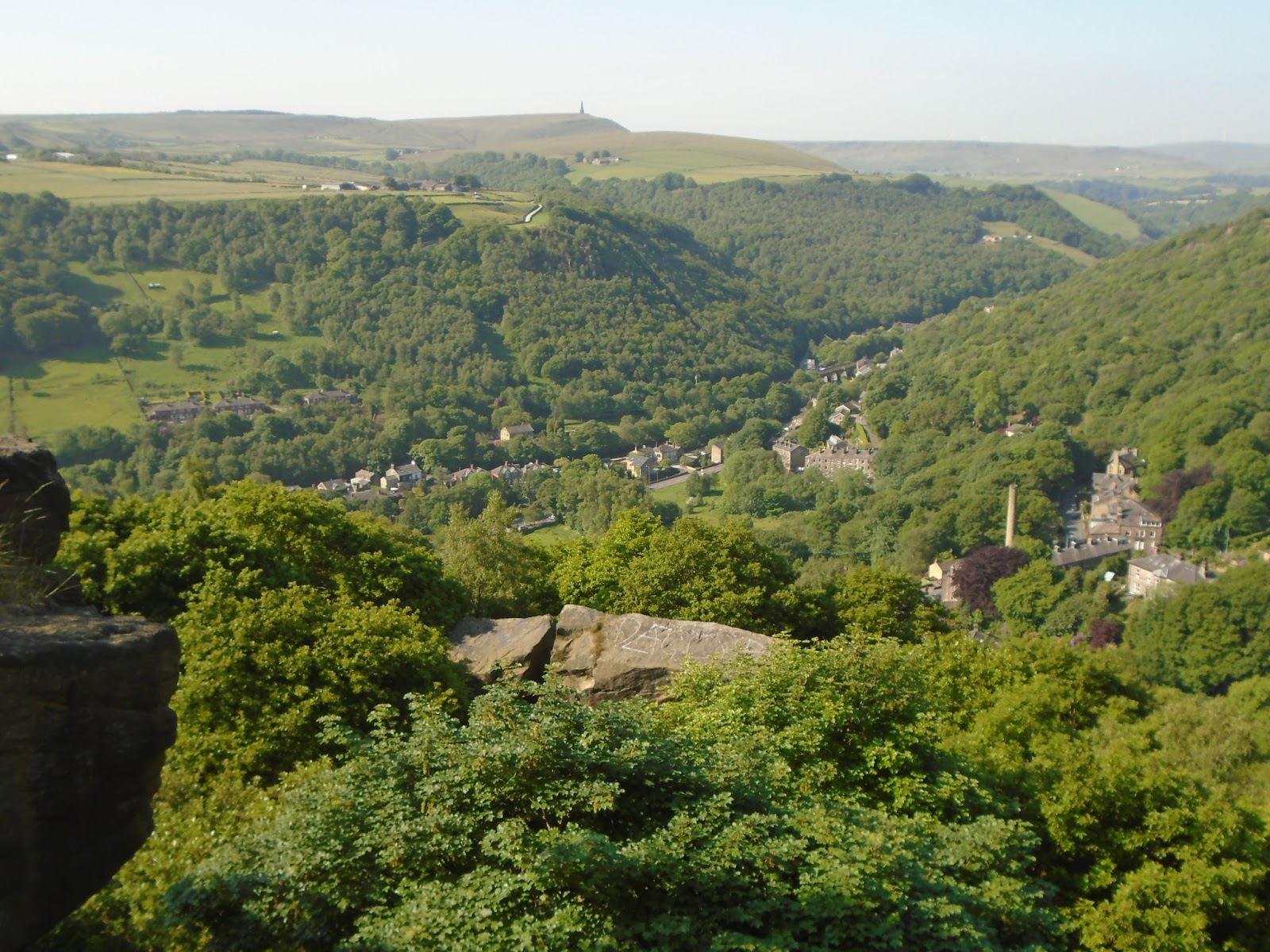
Looking back down to Hebden Bridge


There was plenty more ascending to do today, days total was well over 1000 metres or in old money 3,300 feet. After going through Heptonstall
Heptonstall
and a few miles further we turned north to a small village, Colden. We made a short detour of 200 yards to go to a place that is in Pennine Way folklore, Mays Aladdins Cave, a farm shop that sells virtually everything for walkers and more. I suggested we had a cup of  tea, both the others agreed, they also suggested scones and jam, so roughly hour and half after a full breakfast I was filling my face again. We finally dragged
ourselves away, saying goodbyes to May, a lovely woman.
We soon reached open expanses of Heptonstall moor to reach sight of the first reservoir of the day then it was a climb down to a delightful spot called Graining Water. I spent a short time there taking in the tranquility of the valley and the sound of babbling water. Before I moved on 3 ladies I met the other day came along, soon as they saw how nice it was, along with the sunshine and the heat, they sat down on the side of the stream, shoes and socks off and sheer joy and relief was on their faces as they dipped their feet into cool water.
We then moved on to a string of 3, yes you know whats coming don't you, well done, reservoirs these being Walshaw Dean reservoirs.
One of the "5,000,000" reservoirs that appear on The Pennine Way
All three of us sat down for a break, but as there was literally no shade, I gave it 10 minutes then moved off on my own, I was better off keeping on the move. I climbed away from the reservoirs onto the moors leading to "Bronte country" close to Haworth, home of the Bronte sisters.
When I reached the top of the moor I thought I heard sounds created by the wind, but there was not a whiff of a breeze then I realised what it was, I could hear the sound of an unusual but lovely womans singing voice.
"Out on the windy, whily moors we roam", bloody hell Kate Bush is hereabouts, was I imaging it, was the sun getting to me, no, my sun hat is supposed to give sun protector factor of about 375 or something pretty high. Oh well, plod on Mick just savour the moment, imagine your Heathcliffe and let Kate serenade you.
Anyway, I soon came across Top Withens, some say it was the house Wuthering Heights was based on, but the place does match any description to how the book described it. To be honest I couldn't have given it a blind bit of notice, only what stood besides it, a tree casting shade, glorious shade. Backpack was off in a
Top Withens, more importantly a shady tree

flash, followed by my shirt, shade oh the pleasures you get from the simple things in life. Inge and Daan caught me up at this stage, we walked for a short while, but they told me to carry on while they redid their suncream. That was the last I saw of them until they turned up at the nights b&b a good 30 minutes after me.
Dropping down from that moor I passed by Ponden --------- (fill in the blanks yourself, you should now have a good idea what it is, it begins and finishes with R. It was then a short but steep climb leading to Oakworth Moor then Ickornshaw Moor, then what seemed an eternity walking over them. While I was going on and on and on, a phenomenom occured, I looked at my watch, 4-10. 4-10 was the time that a cloud somehow magically appeared and blocked the suns rays, bliss, sheer bliss for about a whopping 3 to 4 minutes. Eventually I came to edge of the moors to fields. I knew then it was the final part of the day, but I just couldn't bear to look at my map. Directions were good, so just used the waymarkers, if I had have looked I would have been disaster struck, it went for ages, and ages,
"Are we there yet", "No"
and then some more ages,
"Are we there yet", "Just told you no"
even another age if I remember rightly.
"Are we there yet", "Shut the hell up, no no no"
I then took the road into Cowling to the nights b&b,
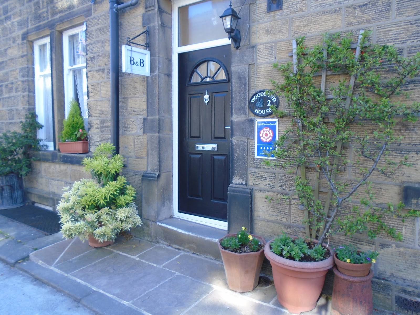
"Are we th... yeah"
all ready for a short hike tomorrow to Malham, just under 18 miles, Mick what the bloody hell have you started.
I must confess, I didn't hear Kate Bush although I was singing it myself, sorry if you thought I was telling the truth, I don't care I've had a long, high ascending and hotday